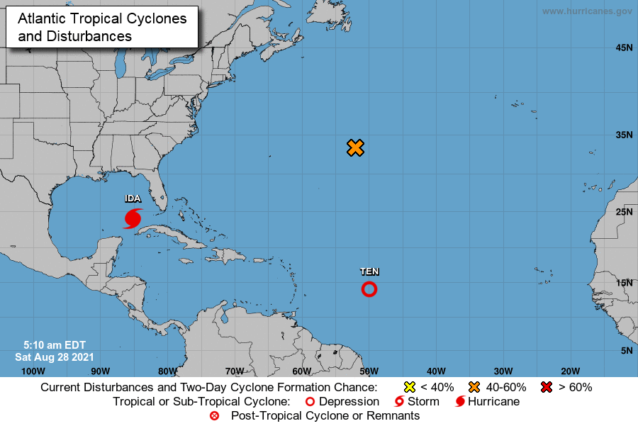
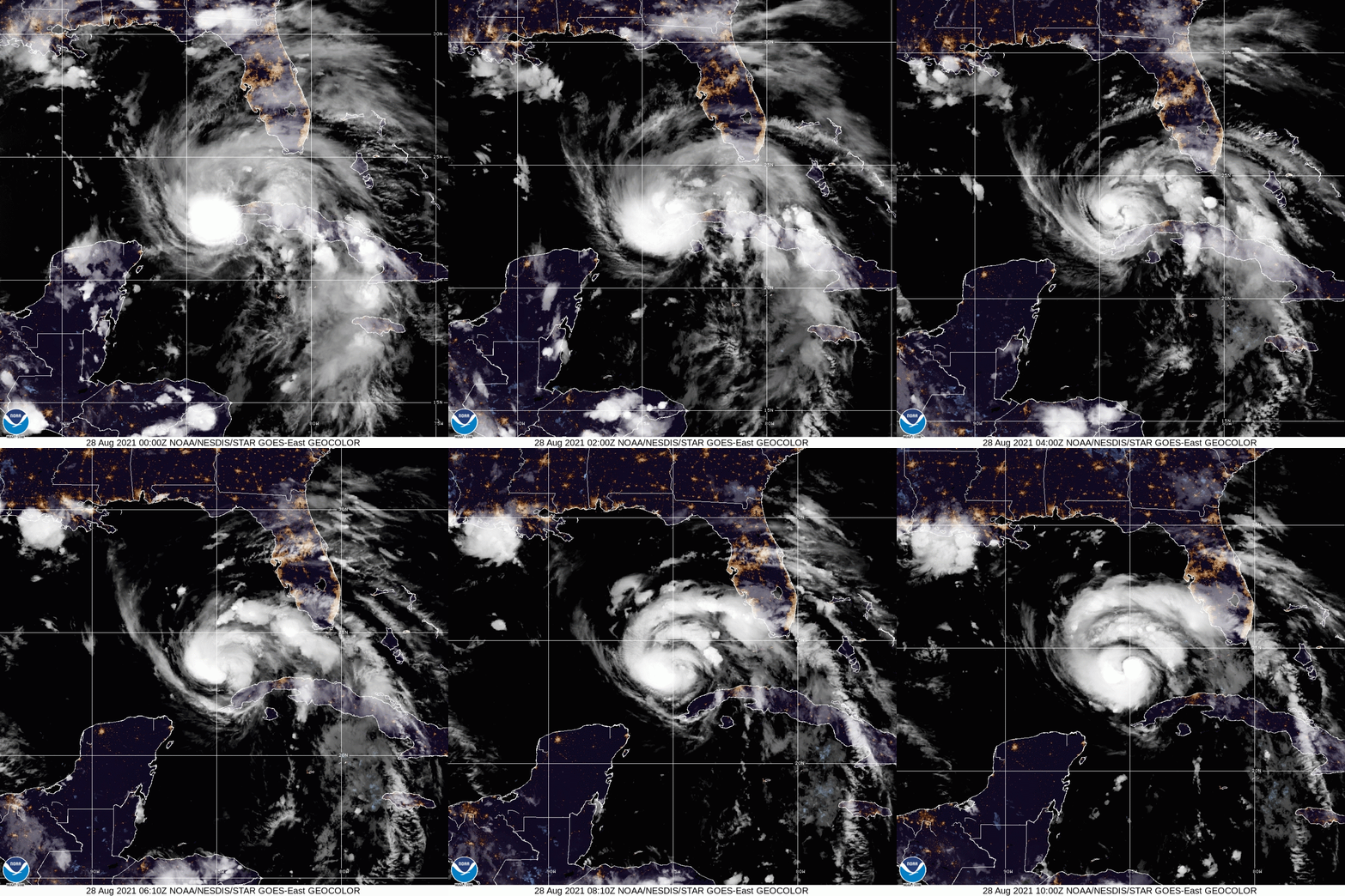
Hurricane Ida hurricane is moving northwest at 16 mph and has winds at 80 mph, according to the National Hurricane Center.
Hurricane Ida continues moving Northwestward across the Southeastern Gulf of Mexico on Sunday after hitting Cuba twice within 24 hours. National Hurricane Center forecasts Ida is expected to rapidly Intensify before reaching the Northern Gulf Coast.
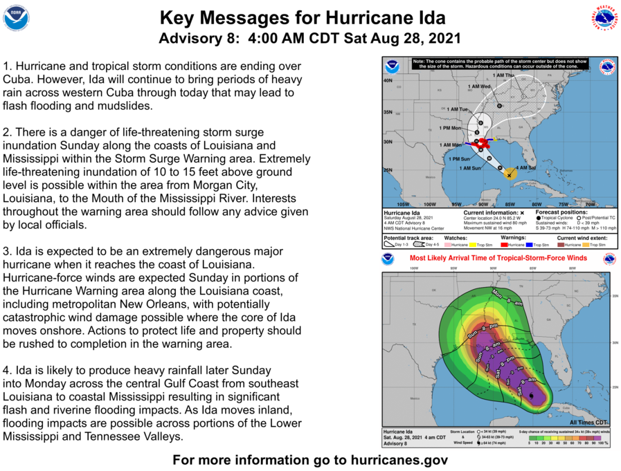
“Ida is expected to be an extremely dangerous major hurricane when it reaches the coast of Louisiana on Sunday,” National Hurricane Center forecasters said Saturday morning.
According to the National Hurricane Center, life-threatening storm surge along the coasts of Louisiana and Mississippi, hurricane-force winds along the Louisiana coast, including metropolitan New Orleans, and heavy rainfall and flooding from southeast Louisiana to coastal Mississippi and Alabama are expected with this storm,
As of 4:00 AM CDT Sat Aug 28 the center of Ida was located near 24.0, -85.2 with movement NW at 16 mph. The minimum central pressure was 987 mb with maximum sustained winds of about 80 mph.

Ida is anticipated to reach at least Category 4 strength before landfall, the National Hurricane Center said, maintaining its earlier forecast.
On the current forecast track, all of Southeast Louisiana is in the cone with an expected landfall in south Louisiana sometime Sunday night.
A Hurricane Warning has been issued for Intracoastal City, Louisiana, to Pearl River, Mississippi.
A Storm Surge Watch is also in effect.
The watch is from Rockefeller to the Mississippi/Alabama border.
There is the potential for a 10-foot to 15-foot storm surge from Morgan City, Louisiana, to Ocean Springs, Mississippi. A storm surge of 4-7 feet is possible in Lake Pontchartrain.

A global media for the latest news, entertainment, music fashion, and more.


